Skip to main content
Back to City of Mobile Homepage
About
Overview
Department Heads
Public Works Departments
Latest News
Reports and Documents
Contact Us
Sanitation
Overview
Trash
Garbage
Recycling
Infrastructure
Overview
Roads/Sidewalks
Traffic
Capital Improvement Projects
Current Projects
Permitting
Parks
Overview
Parks & Rec
Events
BuildMobile
Overview
Planning & Zoning
Inspections
Long Range Planning
Historic Development
Environment
Overview
Trees
Environmental Engineering
Recycling
Resilience
Overview
Resilient Mobile
Sustainable Mobile
Litter-Free Mobile
Litter Dashboard
Get Involved
Flooding Info
Stormwater
Employment
MHDC GIS Maps
More Information
Click below to view maps online.
(pdf formats)
NEW!!
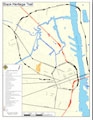
African American
Heritage Trail
NEW!!
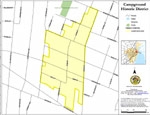
The Campground
Learn More
NEW!!
Maysville National Registry MAP
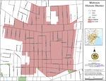
Midtown Historic District Map
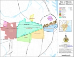
Historic Districts Map
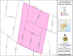
Ashland Place
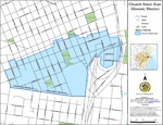
Church St. East
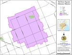
Detonti Square
NEW!!
Leinkauf Expansion
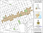
Lower Dauphin St.
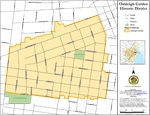
Oakleigh Garden
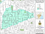
Old Dauphin Way
Click below to download any map in high-resolution, printable .PDF format.
African American Heritage Trail
Midtown Historic District
Mobile Historic Districts
Ashland Place
The Campground
Church St. East
Detonti Square
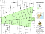
Leinkauf
Lower Dauphin St.
Oakleigh Garden
Old Dauphin Way
Maysville
In this Section
Historic Development
MHDC Meeting Schedule
MHDC Membership
MHDC GIS Maps
MHDC Historic Marker Program
MHDC FAQs
Ordinance